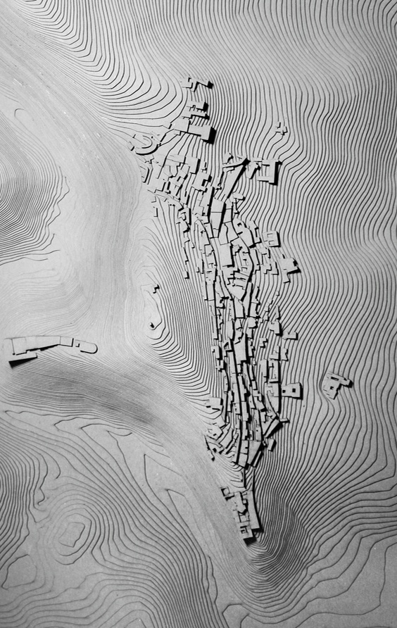
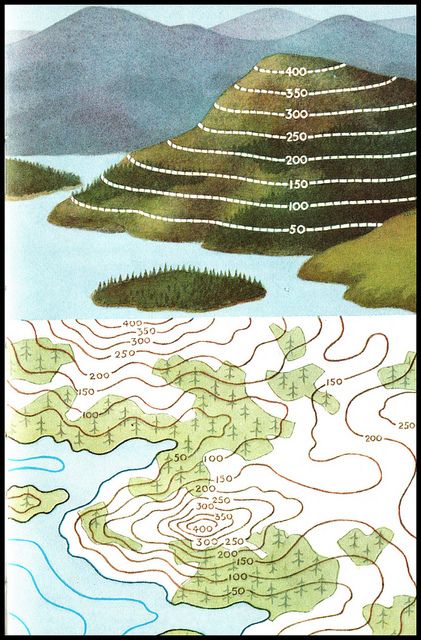
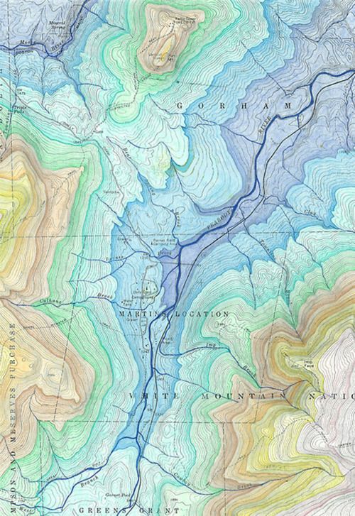
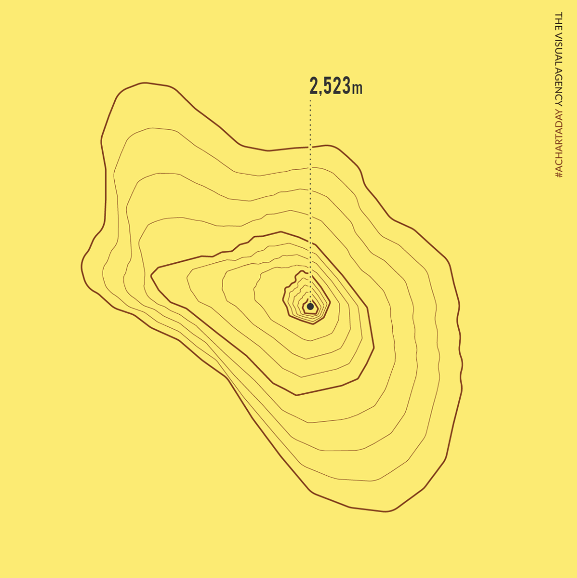
Topographic Map
Also called: Elevation Map
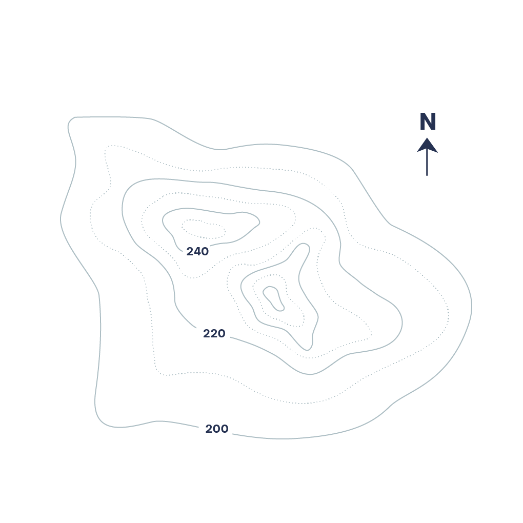
A topographic map is a detailed and accurate graphic representation of cultural and natural features on the ground. A topographic map is typically published as a map series, made up of two or more map sheets that combine to form the whole map. A contour line is a combination of two line segments that connect but do not intersect; these represent elevation on a topographic map.